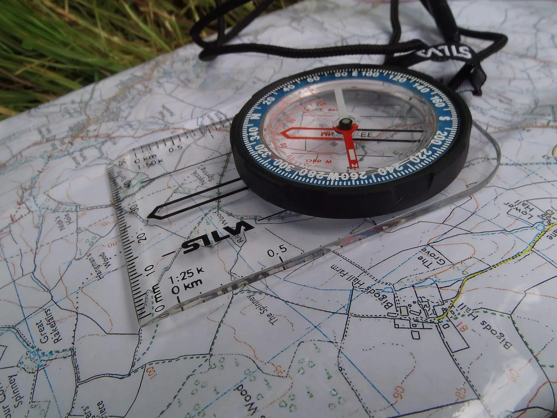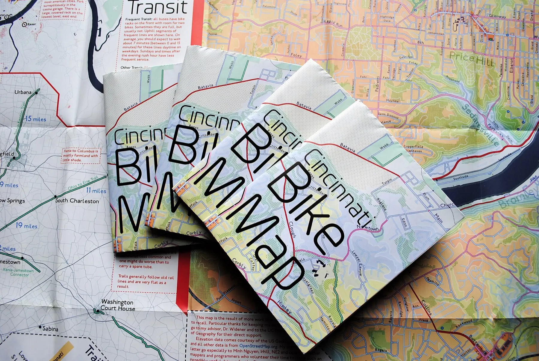
Map
A paper map of your region that works without power, signal or GPS. Mark your routes on it in advance.
- Type
- Topographic or road map of your region
- Scale
- Typically 1:50,000 for walking, up to 1:200,000 for longer routes
- Protection
- Laminated or in a waterproof sleeve
- Extras
- Pencil for marking routes and meeting points
- Shelf life
- Unlimited when kept dry. Replace it every few years or when roads change.
Nate Wessel, CC BY 4.0 · Photo credits
A paper map works when nothing else does. Phone maps need a charged battery and often mobile data. In a war, GPS signals can also be jammed or disrupted, and the blue dot may show you in the wrong place. A printed map has none of these problems.
This is a map of your own region, laminated or in a waterproof sleeve. It shows roads, paths, rivers and terrain, so you can find another way when the usual one is closed.
The map is most useful if you prepare it now. Mark where your family will meet, where the nearest shelters are and how you will leave town. In a crisis you won’t have time to plan, but you can follow lines you drew in calm.
Why it’s in the kit
In an evacuation, roads close, signs disappear and mobile networks fail. A marked map lets you and your family reach the same place without calling each other. Together with the compass, it gets you there without a phone.
Storage & maintenance
Keep the map in its sleeve, away from damp. Check it once a year. Update the meeting points and routes, and replace the map if your area has changed a lot.
How to use it
Check it covers your area
The map should show your home, work, school and the routes out of town to your family meeting place.
Mark it now
In pencil, mark your home, family meeting points, public shelters, hospitals and places to get water.
Plan routes out of town
Mark two or three different routes, including one on foot. Main roads may be blocked or jammed.
Find where you are
Match what you see around you, such as rivers, bridges, railways, churches and crossroads, to the symbols on the map.
Orient the map
Turn the map so the features on it line up with the real ones. Or use the compass to point the map's north edge north.
Keep it dry
Fold it so your area faces out and put it back in its waterproof sleeve.
Video guides
Video guides are being prepared.
Manuals & downloads
Manuals will be available here soon.